
Self-guided trail
Aztalan State Park (Sample Content)
A self-guided walk through a 1,000-year-old Mississippian culture site.
5stops
1.4 kmtrail length
~32 minon foot
PLACEHOLDER CONTENT. Stop coordinates were adjusted to real, public-record locations within the park (OpenStreetMap-tagged mound/stockade points, Wikipedia/Wisconsin DNR park boundary) so every pin falls inside the actual park, but stop order, numbering, and copy are still illustrative samples and have not been verified against on-site signage. Park staff should review and edit every stop via /admin before publishing.
 1
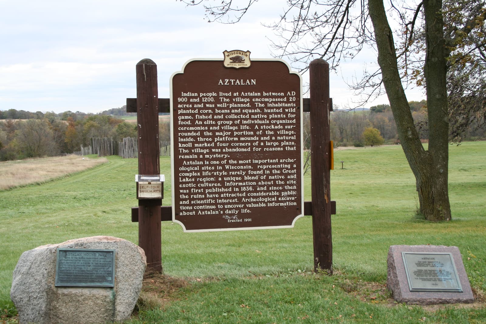
1Welcome to Aztalan
Start of the self-guided trail, at the Wisconsin Historical Society marker near the park entrance. Sample stop — replace with your own welcome message.
 2
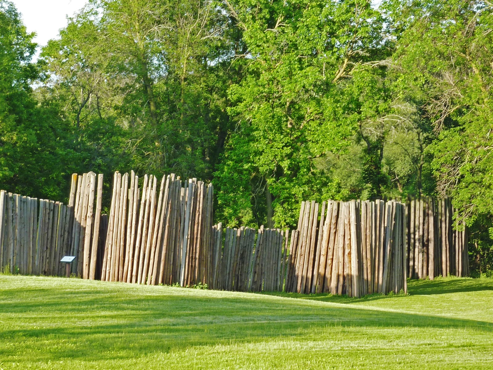
2The Stockade Wall
Reconstructed section of the palisade that enclosed the village on its north, west, and south sides.
 3
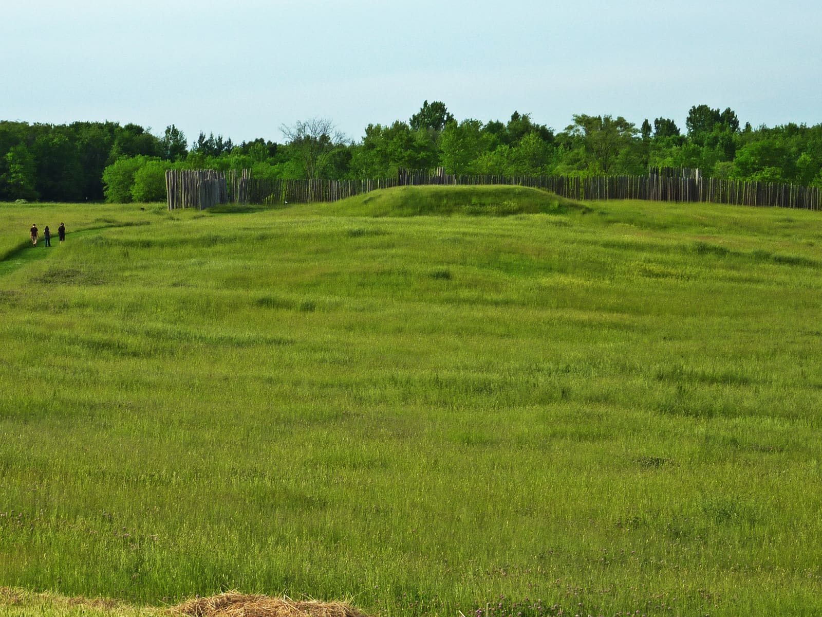
3Platform Mound
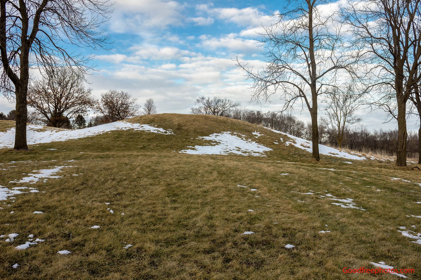
The largest of the site's platform mounds, in the southwest corner of the former stockade.
 4
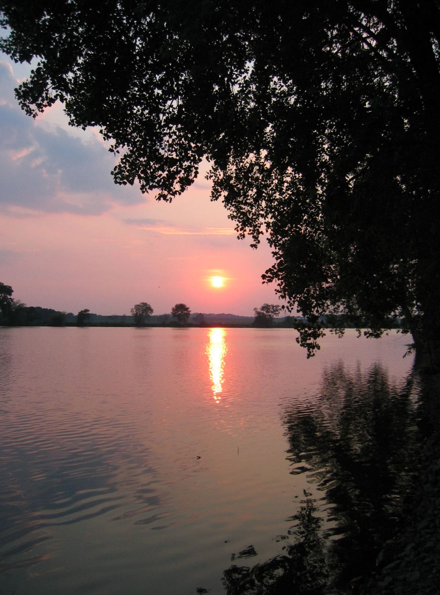
4Crawfish River Overlook
The river that shaped where the village was built and how it connected to trade routes.
 5
5Support the Friends of Aztalan
Near the second platform mound, heading back toward the parking area — how this park stays open, funded, and interpreted.